

Geological Surveys
Accurate geological data is the foundation of successful mining investment.
Our Capabilities:
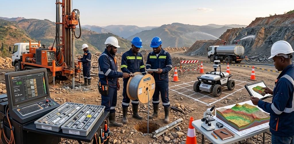
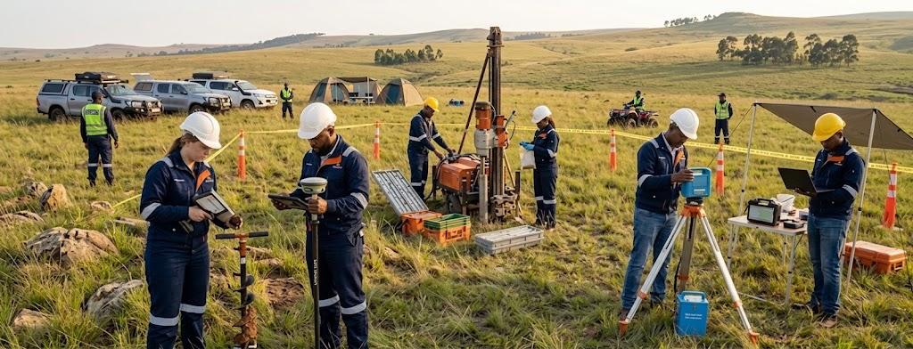
Regional and detailed geological mapping
Structural geology analysis
Geophysical surveys (magnetic, radiometric, electromagnetic)
Remote sensing and satellite imagery interpretation
GIS-based data integration and visualization
Uganda's geological potential has been increasingly validated by recent government-led surveys. The Karamoja Aerial Survey, for example, revealed over 300 million tonnes of limestone and identified significant deposits of copper, gold, and iron ore . Our team is equipped to help clients interpret and build upon this national geological data.
Our Service Benefits
Our survey services provide clients with the detailed information needed to make informed decisions.
- Business improvement
- Business improvement
- Network Administration
- Network Administration